


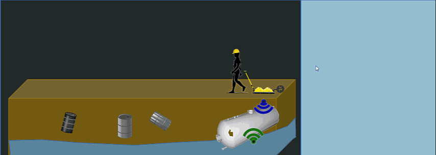
Environmental assessment is the assessment of the environmentalcosts of a projectprior to the decision to execute a proposed action. We conduct a comprehensive non-invasive GPR investigation of the subsurface at a relatively low cost. The Ground Penetrating Radar is a very effective tool that help us lactate place and depth of construction hazards, buried underground storage tanks. Sources of point contamination, leaking pipes, water tables and other environmental impacts. This non-destructive inspection and geophysical are able to identify and confirm the location of an existing or deteriorating underground storage tanks that are buried below concrete or asphalt. Locations can be marked onsite prior to drilling or excavating operations. Maps can be provided with accurate location and depths.

To conduct archaeological excavation a grid of squares over the entire site is established, soil is removed from the top of each square, to recover their content.
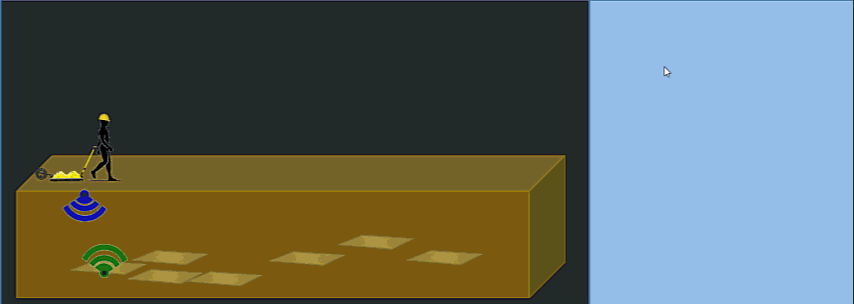
GPR Guides the plan for the excavation and help locate gravesite, cemetery, geometric patterns and voids for probable buried ancient structures.
Historical Burial Grounds rarely have documented cemetery mapping of gravesite locations. Even though buried remains and caskets have decomposed over long periods, we are able to identify the location of the gravesites using Ground Penetrating Radar (GPR). This technology allows us to identify specific locations where the ground soil was previously disturbed and allows us to provide accurate cemetery mapping. 200 and 400MHz systems are typical of those used for archaeological prospection.

Page 2 of 2
- You are here:
-
Home

- GPR Mapping